
") Plate options (not georeferenced) Plate options (not georeferenced) |
") Plate options (georeferenced) Plate options (georeferenced) |
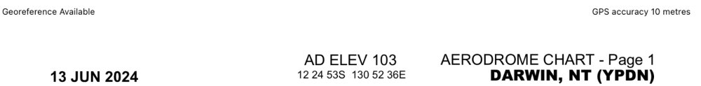
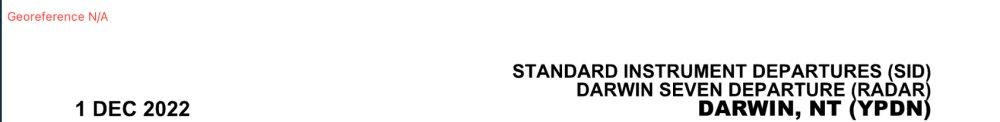
Georeferencing status
The Georeferencing status is displayed as Available or N/A in the top-left corner of each page. Georeferenced pages also display the current GPS accuracy in the top-right corner.
| When georeferencing IS available |
|---|
 |
| When georeferencing IS NOT available |
 |
Show chart on map
Tapping this option opens the En Route tab, then places the plate on the map in the right position and orientation. You can then fly from map to plate without changing a thing.
 Show chart on map example
![]() Use the opacity slider to change the opacity of the plate, then use the Clear button when the plate is no longer needed on the map.
Use the opacity slider to change the opacity of the plate, then use the Clear button when the plate is no longer needed on the map.
Annotate chart (Create, edit and delete annotations)
Any chart in the Terminal pane can be annotated with free notes, highlights and drawings, or typed text.
Tap the Plate Options button  at the top of the screen, then select Annotate Chart. A set of five annotation icons will appear above the top left corner of the page, and the word “Editing” at top centre to indicate that annotation is in progress.
| |
Add freeform notations by tapping the pencil icon |
| |
Add typed text by tapping the Text icon |
| |
Select different colours by tapping the palette button |
| |
Undo an annotation one step at a time with the undo button. Note that this will work even after the chart has been closed and reopened |
| |
Delete all annotation on the current chart or plate with the trash can icon |
 Annotation examples
When finished, exit Editing mode by tapping Done. The Editing icons will go away.
All notes and annotations are saved to the chart and will appear each time they are subsequently viewed until the Clear Chart option has been selected. This happens even when a chart or plate has been replaced by an updated version. If the updated chart of plate has been published with an altered layout or new dimensions, your annotations will remain exactly where they were first created with respect to plate or chart boundaries. This may no longer be the place you want them to be, in which case you may need to delete and re-create them.
Notes and annotations sync between all of your AvPlan devices.
Need more help with this?
Help Centre (Tap and hold to open the Link)