



 AvPlan
 AvPlan Web: What’s New Since Launch
Discover what’s new in AvPlan Web since its July launch, including new route options, New Zealand weather, aircraft imports, flight paperwork and tools for operators.
Learn More




 The ability to display current routing on BoM radar images as now been added to AvPlan. The current route and present position is overlaid on all BoM radar images at ranges of 128, 256 or 512 km.
With a 3G connection these images can be updated inflight and used as an additional tool for situational awareness and weather avoidance.
AvPlan Discover what’s new in AvPlan Web since its July launch, including new route options, New Zealand weather, aircraft imports, flight paperwork and tools for operators.
Learn More AvPlan
 Effective 3 September 2026 What is changing? The Australian DAP 2609 update includes revised approach plates at 35 airports. Most […]
Learn More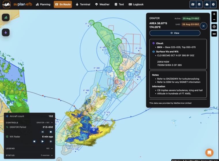 AvPlan
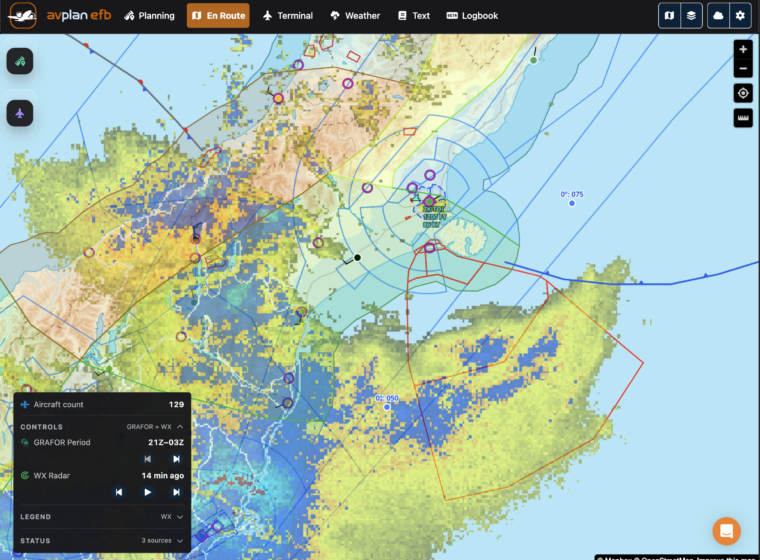
 Planning flights across New Zealand just became easier. AvPlan Web now provides access to all the aviation meteorological data available […]
Learn More