



 AvPlan
 AvPlan Web: What’s New Since Launch
Discover what’s new in AvPlan Web since its July launch, including new route options, New Zealand weather, aircraft imports, flight paperwork and tools for operators.
Learn More




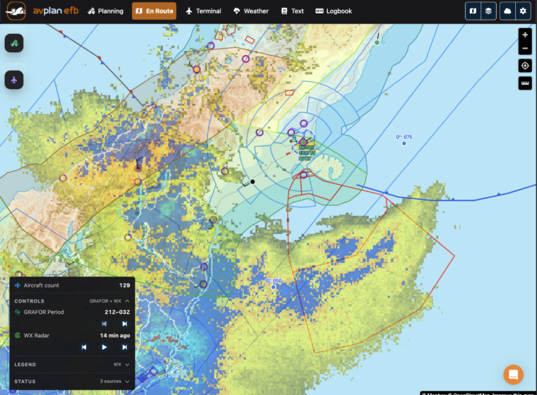
 We have added animated weather radar data to AvPlan. An hour’s radar data is displayed on all map types (WAC, ERC, VNC etc) in a continuous loop.
The radar data is updated every 10 minutes and can be used on the ground or in flight with appropriate network coverage.
This feature is one amongst a large number of updates in a new release which will be pushed out to the testing community in the coming days.
These features include;
AvPlan Discover what’s new in AvPlan Web since its July launch, including new route options, New Zealand weather, aircraft imports, flight paperwork and tools for operators.
Learn More AvPlan
 Effective 3 September 2026 What is changing? The Australian DAP 2609 update includes revised approach plates at 35 airports. Most […]
Learn More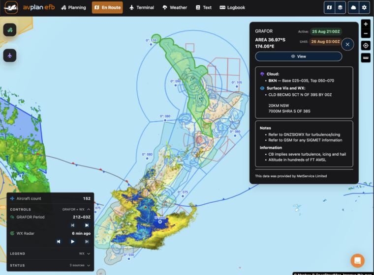 AvPlan
 Planning flights across New Zealand just became easier. AvPlan Web now provides access to all the aviation meteorological data available […]
Learn More