
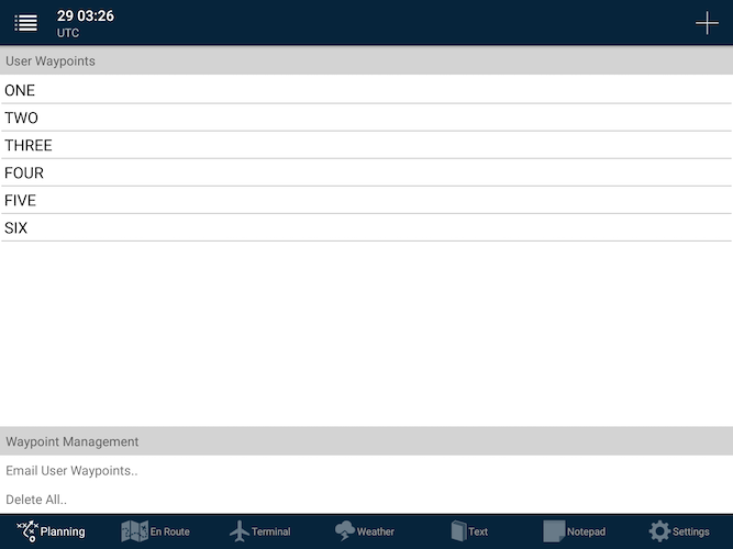
User waypoints can be managed (added, edited, sent or removed) from within this window.
Adding a user waypoint
To add a waypoint, from the User Waypoints list, press the white + button in the top-right corner of the screen.
There are three ways to manually create a User Waypoint:
- Latitudes and longitudes can be directly entered in the format: DD MM.MM S or DDD MM.SS N
- User waypoints can also optionally be created from street addresses:
- Tap the Find Street Address row to search for a known address.
- Type in the address and tap the row from the results list. (The Latitude/Longitude will then be automatically entered)
- If you have a bearing and distance from a known aviation location, you can enter it here.
- Use a known waypoint, such as YMML, NZAA or an IFR waypoint such as DOPKI or TOPIR.
- Bearing (in degrees magnetic)
- Distance (in nautical miles)
Editing an existing user waypoint
- To edit a waypoint, select a waypoint from the list and edit the figures in the Waypoint Details group as required.
- You can also use the satellite map at the bottom of the list to fine-tune the waypoint’s position:
- Tap and hold on the red marker icon
- The marker will rise up slightly. This denotes that the marker is ready to be moved. Slide your finger to the correct position.
- Release your tap to set the marker in its correct position.
- The latitude/longitude values will be automatically updated to this new position.
 User Waypoint editing screen
Deleting a user waypoint
- To delete a waypoint, press and hold on the row and a Delete option will appear.
Need more help with this?
FAQs