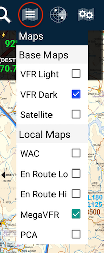
 Map Selection menu
Base maps are the vector maps that underpin a selected raster map. You can deselect a Local Map and fly with the vector base map if you choose.
Local maps are the official maps from your region.
Depending on the Language settings of your device, the MegaVFR might also be called Sectional.
Need more help with this?
FAQs


